
Detect. Log. Share.
The community for metal detectorists and gold prospectors - with everything you need in one place. Now on the App Store and Google Play, or explore the live map and community feed below, no account needed.
Free · iOS & Android · 739 sites and growing
Tap a zone or a site to see the rules - pan and zoom the real map.
See what people are digging
Real finds from the community. Filter by what came up, and cheer the ones you like - no sign-up to have a poke around.
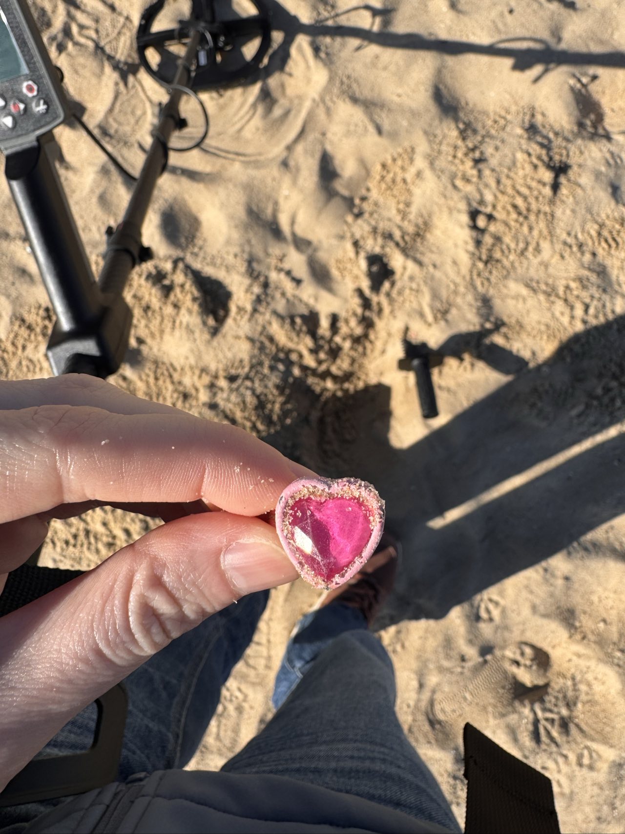
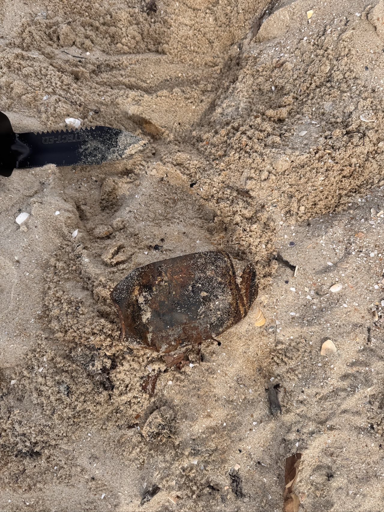
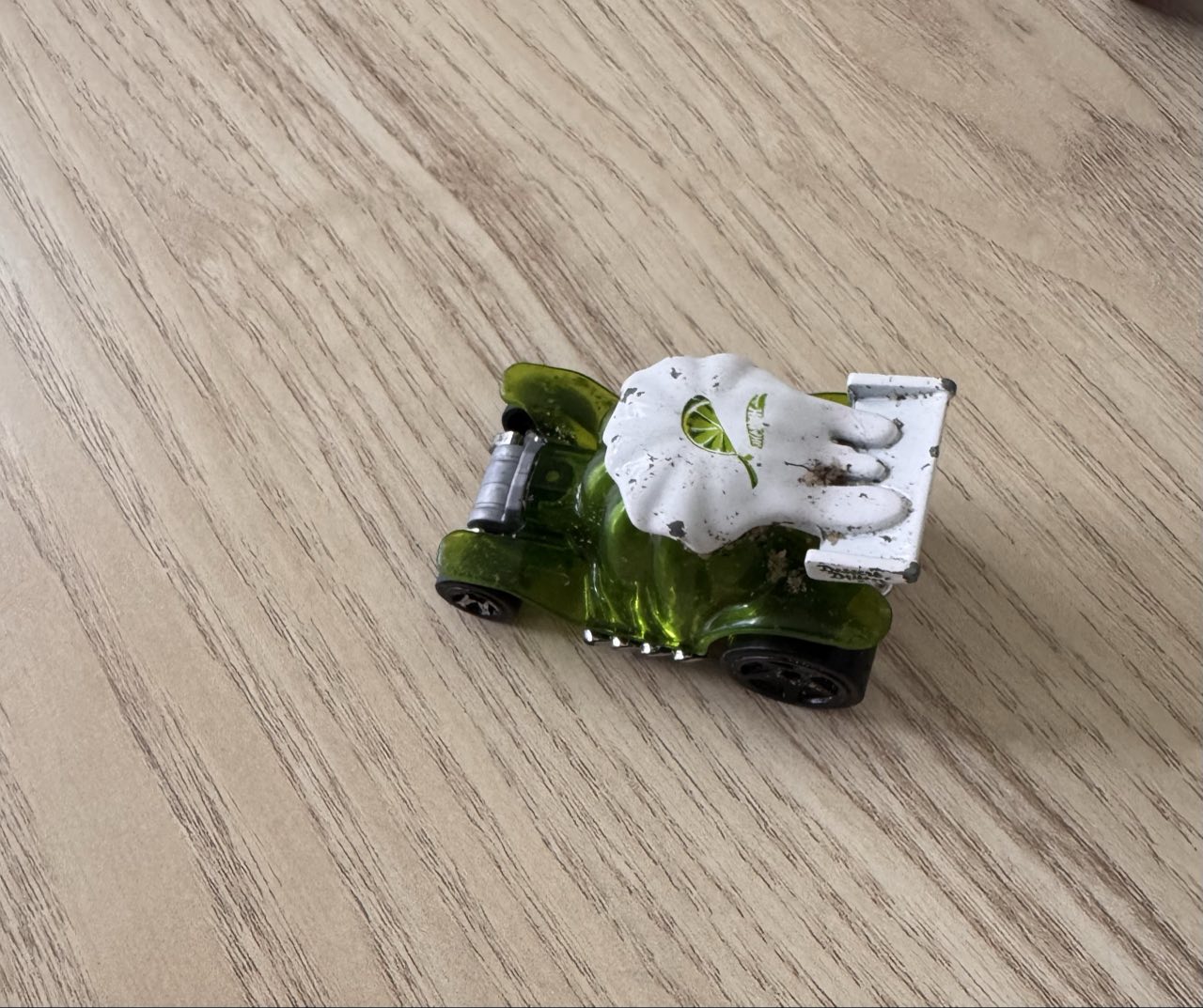
Cheering here is just a taste - create a free account to post your own finds, comment and follow detectorists.
Everything you could need
A community feed, a legality-coded map, and a private log of every find and trail - the whole hobby in one app.
A feed that gets the hobby
Post your finds, follow other detectorists, and cheer and comment on the best digs - a feed tuned to the people you follow and the ground near you. A community built around the hobby.
Know where you can detect
A worldwide map colour-codes open ground, permission zones and no-go areas, each with a sourced legality verdict - so you know before you swing the coil.
Your private field journal
Log every find with photo, depth and spot, and record GPS walk tracks so you never re-sweep ground. Private to you - never on the feed unless you choose to share it.
Follow the gold
A geology layer from open Earth-science data highlights the rock types where gold is commonly found - a head start on where to dig.
And the rest, built in
- Community feed & cheers
- Follow & discover detectorists
- Direct messages
- Saved finds
- Permits & Miner's Right
- AI find identification
- Hashtags & search
- Push notifications
Where you stand
Permission depends on who owns the dirt, and the rules change by jurisdiction. Detector Trails carries a sourced rule set for every region it covers - here's the shape of it.
Prospecting allowed with a current Miner's Right. Hand tools, backfill, no relics.
Parks set aside for detecting. Same Miner's Right, plus the park's own closures.
Closed unless the park is on the designated list. Warrandyte and the Dandenongs are out.
Council local laws decide. Most bayside councils allow wet sand, with hole-filling conditions.
Written permission from the owner, every time. A verbal yes is not a defence.
Registered sites and historic mining relics are protected. Report anything of interest, do not lift it.
Summaries only. Confirm with the land manager, park authority or local council before you dig - the fines land on you, not on us.
Join detectorists worldwide.
Free to use. Get the app on iOS or Android, or browse the map and community feed on the web - sign up when you want to post finds, follow detectorists and record trails.